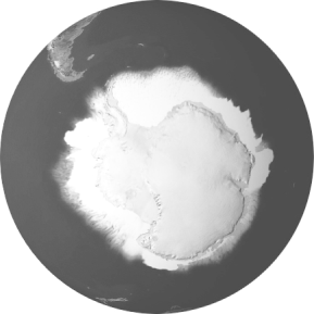
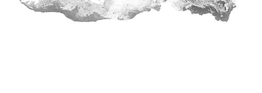
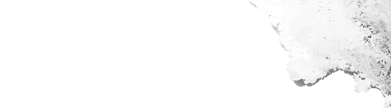
Mapping ice elevation
by innovative altimeter swath processing

Making inference about the state of the Antarctic and Greenland Ice Sheets with the production of swath elevations, DEMs, elevation change and innovative science products making use of the technique of swath interferometry applied to SARIn mode CryoSat data.