Antarctica
The CryoTop project has produced swath dataset elevation from baseline C data (2010 - 2016) over the Antarctica ice sheet and DEM and rates of surface elevation change at 1 km.
Swath processing allows to explore the potential in mapping the following 4 processes:
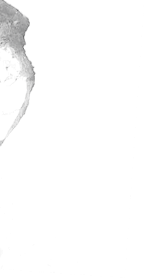
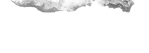
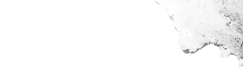
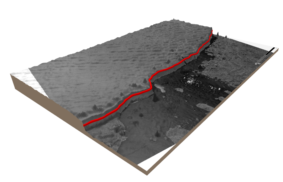
Antarctica is surrounded by large ice shelves and ice tongues which are the floating extensions of outlet glaciers and ice streams. The ice edge is a highly dynamic environment that is continuously changing as ice from the interior ice sheet is transported to the ocean and icebergs break off at the calving front. The Calving Front Location (CFL) is a basic parameter for ice dynamic modelling, for computing the mass fluxes at the calving gate, and for mapping glacier area change. Whether the CFL is advancing or retreating depends on many factors including oceanic, atmospheric and internal dynamic forcing. From the ice velocity at the calving front and the time sequence of CFLs the iceberg calving rate can be computed which is of relevance for estimating the export of ice mass to the ocean. The dense spatial and temporal sampling of CryoSat swath elevation allows to generate detailed digital elevation models (DEMs) of Antarctic outlet glaciers and floating ice shelves at sub-annual intervals. The calving front, which is usually characterized by a steep ice cliff tens of meters in height, can be clearly resolved in these DEMs by a sudden jump in elevation at the ice-ocean boundary. The DEMS can thus be used to provide a valuable data record of ice front positions that allow scientists to study calving processes and detect any changes.
These products are key to the understanding and quantification of processing leading to loss of ice mass at the margins of bit ice sheets but their study has been limited in part by the lack of recurrent observations at sufficiently high spatial and temporal resolutions.